Description
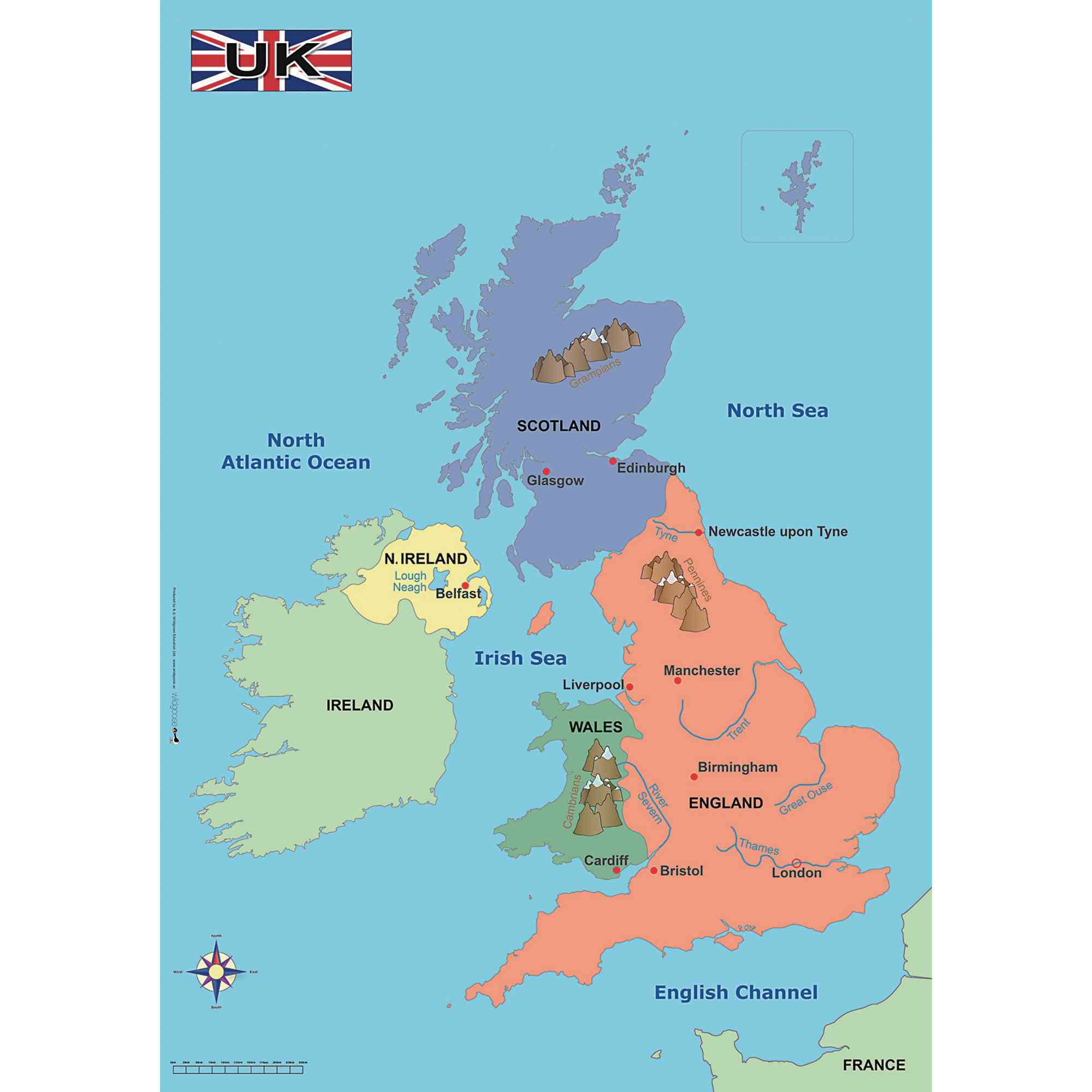
This simple, colourful map of the United Kingdom is an essential resource for teaching key Geography topics at KS1 and KS2. Designed for classroom display or group work, it helps pupils identify major towns, cities, rivers, mountains, and surrounding seas, supporting curriculum objectives on UK geography and contrasting localities.
Map can be used to support study about the four countries of the UK and the surrounding seas, as well as contrasting localities.
Includes 1 map of the United Kingdom
Dimensions: 570 x 670 mm
Clearly marks principal towns, cities, rivers, mountains, and seas
Suitable for ages 5 and above
Ideal for classroom wall display or table-top activities
Specifications
Made In
GB
UNSPSC Code
55101501.0
Weight
93kg
Height
60mm
Width
60mm
Length
595mm
Brand
Own Brand
Categories
Geography
Category
Maps & Compasses