0 £0.00
products in your basketto quote Checkout
Ooops no items were found.
Try something else.
Ok
Loading…

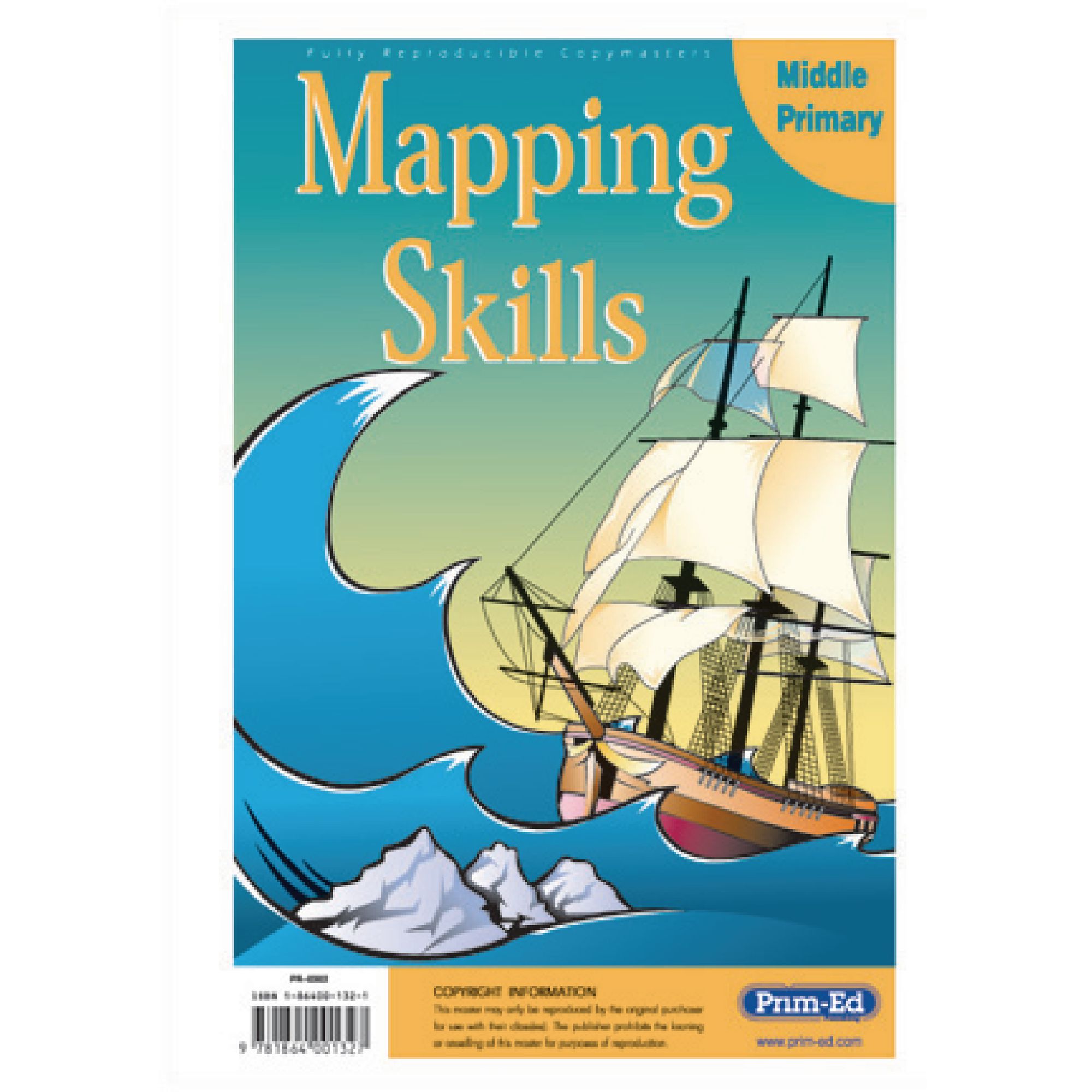
Mapping Skills Middle Primary

Category Maps & Compasses
HE48754004

Mapping Skills Middle Primary

Product Code: HE48754004
Category Maps & Compasses

Description

This photocopiable book supports teachers in developing essential mapping skills for middle primary pupils, making geography lessons engaging and practical. It is ideal for reinforcing key concepts such as grid references, scales, and compass directions, and can be used alongside any school atlas to enhance curriculum delivery.

  • Suitable for ages 7 years and above

  • Includes a range of photocopiable activities covering coordinates, symbols, compass points, directions, latitude, and longitude

  • Features blank outlines of the British Isles and Europe for hands-on practice

  • Supports identification of locations and accurate instruction-giving

  • Book format; ISBN: 9781864001327

  • Can be used in conjunction with all school atlases

  • Skills include horizontal and vertical, co-ordinates, symbols, compass points, giving directions, latitude and longitude and familiarity with a range of maps; e.g. mud, plans, street, physical and political

Specifications

Made In

IE

UNSPSC Code

60101729.0

Weight

171kg

Height

10mm

Width

210mm

Length

300mm

Brand

Prim-Ed

Categories

Geography

Category

Maps & Compasses

From
£18.65 Pack of 1
/
- +
Compare

Mapping Skills Middle Primary

Category Maps & Compasses
HE48754004

Mapping Skills Middle Primary

Product Code: HE48754004
Category Maps & Compasses

Description

This photocopiable book supports teachers in developing essential mapping skills for middle primary pupils, making geography lessons engaging and practical. It is ideal for reinforcing key concepts such as grid references, scales, and compass directions, and can be used alongside any school atlas to enhance curriculum delivery.

  • Suitable for ages 7 years and above

  • Includes a range of photocopiable activities covering coordinates, symbols, compass points, directions, latitude, and longitude

  • Features blank outlines of the British Isles and Europe for hands-on practice

  • Supports identification of locations and accurate instruction-giving

  • Book format; ISBN: 9781864001327

  • Can be used in conjunction with all school atlases

  • Skills include horizontal and vertical, co-ordinates, symbols, compass points, giving directions, latitude and longitude and familiarity with a range of maps; e.g. mud, plans, street, physical and political

Specifications

Made In

IE

UNSPSC Code

60101729.0

Weight

171kg

Height

10mm

Width

210mm

Length

300mm

Brand

Prim-Ed

Categories

Geography

Category

Maps & Compasses

From
£18.65 Pack of 1
/
- +
Compare
SEARCH ×