
Description
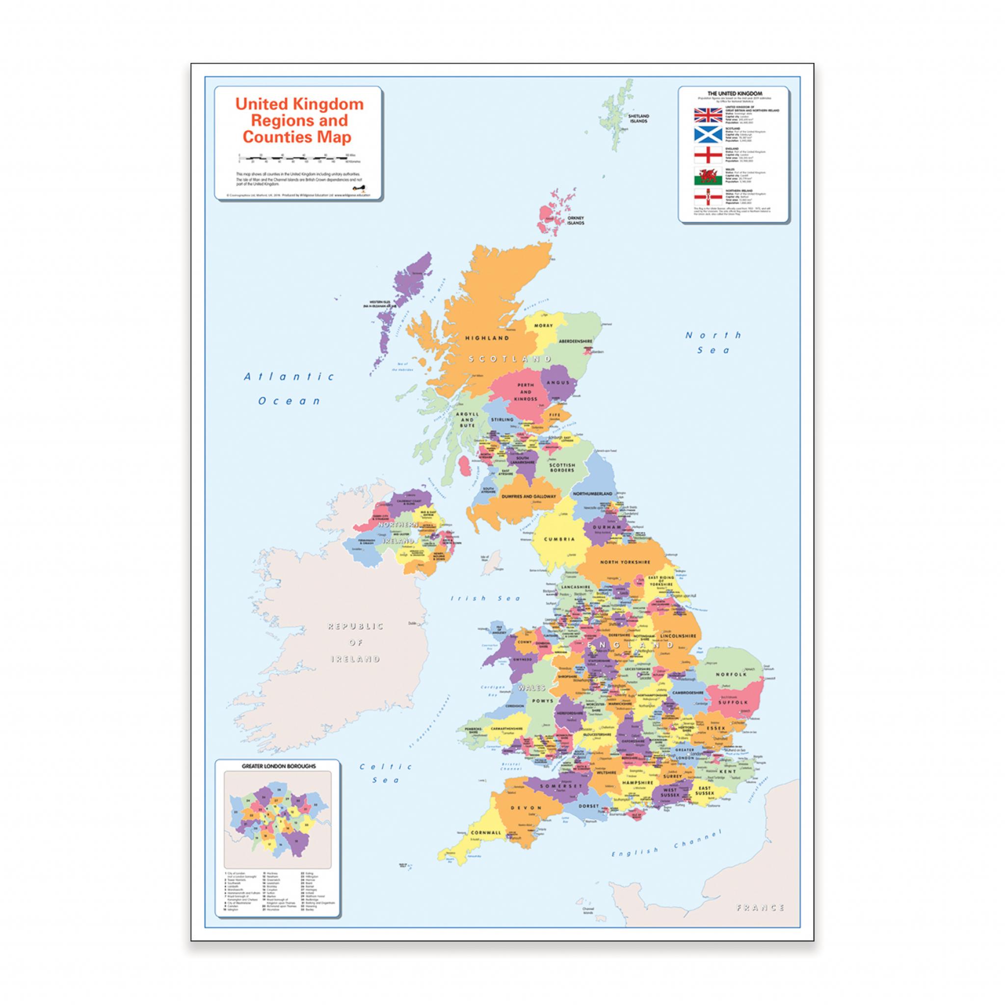
This colour blind friendly UK political map supports inclusive geography teaching by ensuring all learners can clearly distinguish regions and counties. Designed for classroom or home use, it helps students explore the political geography of Britain and Ireland with accessible, easy-to-read visuals.
Displays counties, regions, major cities, and towns in Britain and Ireland
Includes surrounding oceans, seas, country flags, and key information
Features a close-up insert of Greater London boroughs
Colour scheme suitable for learners with colour vision deficiency (CVD)
There is likely to be at least one child in every classroom that is colour blind
Size: A1 (59 x 84cm)
Specifications
Made In
GB
UNSPSC Code
55101501.0
Weight
93kg
Height
45mm
Width
45mm
Length
595mm
Brand
Own Brand
Categories
Geography
Category
Maps & Compasses